lthough many Alaskans may not recognize its new name, NV5 Geospatial has been providing geospatial services in the state for over 60 years. Most recently known as Quantum Spatial, the company has been entrenched at its Merrill Field location in Anchorage for decades. It has supported Alaska on many of its major mapping initiatives such as aerial surveys for the U.S. government, and mapping route alternatives before construction of the Trans-Alaska Pipeline System. NV5 Geospatial has been with Alaska through many of its changes and continues to adapt to solve new challenges.
Today, “mapping” means so much more than taking pictures from above and drawing features of the ground. With an arsenal of advanced sensor technologies such as lasers, multi-spectral imaging cameras, and massive computing power, modern geospatial companies can expand the catalog of questions that can be answered with geospatial solutions. From measuring the changing coastline, to identifying specific geo-hazards along pipe, rail, and road systems, to developing impact studies of earthquakes, and analyzing potential landslide hazards, NV5 Geospatial is answering some of the most pressing geographic questions facing Alaska.
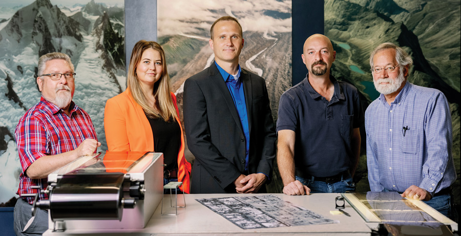
“We can tell you where and by how much your pipeline infrastructure is shifting due to changes in permafrost, or how wetlands are being impacted by fluctuations in drainage patterns or from accelerated glacial melt,” says Adam McCullough, NV5 Geospatial’s Alaska Program Manager. “We can help identify which lakes and ponds have more water volume to use to sustainably build ice roads without impacting fish populations or damaging tundra while saving engineering and construction costs. Our clients identify their resource challenges, and we apply the sensor technology matched with airborne platforms such as airplanes, helicopters, and drones, to acquire mapping data that we turn into actionable information like high-resolution aerial imagery, digital elevation models, and analytics.”
With 600-plus employees across the U.S., including its production office in Anchorage, NV5 Geospatial is North America’s largest provider of geospatial services. As a technology company, NV5 Geospatial differentiates itself with cutting-edge software like INSITE, a cloud-based geospatial data management platform that centralizes geospatial data and fuses it with multimedia analytics.
“Every client has a specific data objective that requires attention,” McCullough explains. “We have clients that use our solutions to monitor year-over-year changes. Each year we review how our technology has improved and ask how we can enhance what we offer and better deliver the results. We accept that just because something worked a few years ago doesn’t mean it’s still the best solution today. We constantly challenge ourselves to improve, and our clients have rewarded us with repeat business.”

By honing its proficiency in using advanced sensor technology to map and model features above ground and below water, NV5 Geospatial has built a strong reputation for its superior acquisition and accuracy practices with deep experience in Alaska’s challenging remote locations. As a result, the company participates in some of the most consequential projects around the state—from Prudhoe Bay to Ketchikan and everywhere in between. Some of its most impactful projects involve assisting energy companies in studying the impacts of resource developments, providing aerial imagery of the state’s vast national forests, utilizing elevation-models to analyze landslide risks, accurately delineating Alaska’s rivers, lakes and streams for the USGS, and mapping Alaska’s nearshore environment for NOAA to study navigation hazards.
Whether consulting for government agencies, electric utilities, oil and gas companies, or other commercial entities, NV5 Geospatial focuses on promoting environmentally responsible and sustainable projects that help mitigate climate change. “Our solutions enable industries to minimize impacts to the tundra ecosystem, which is important to us.” Vernlund says.
The company is committed to being an industry leader that Alaskans can look to for advancements in geospatial analytics. “We will continue delivering the best data as we focus on the future and providing innovative technologies to answer Alaska’s toughest geospatial questions,” McCullough says.
Adam McCullough
2014 Merrill Field Dr.
Anchorage, Alaska 99501
(907) 771-5232
https://www.nv5geospatial.com
