

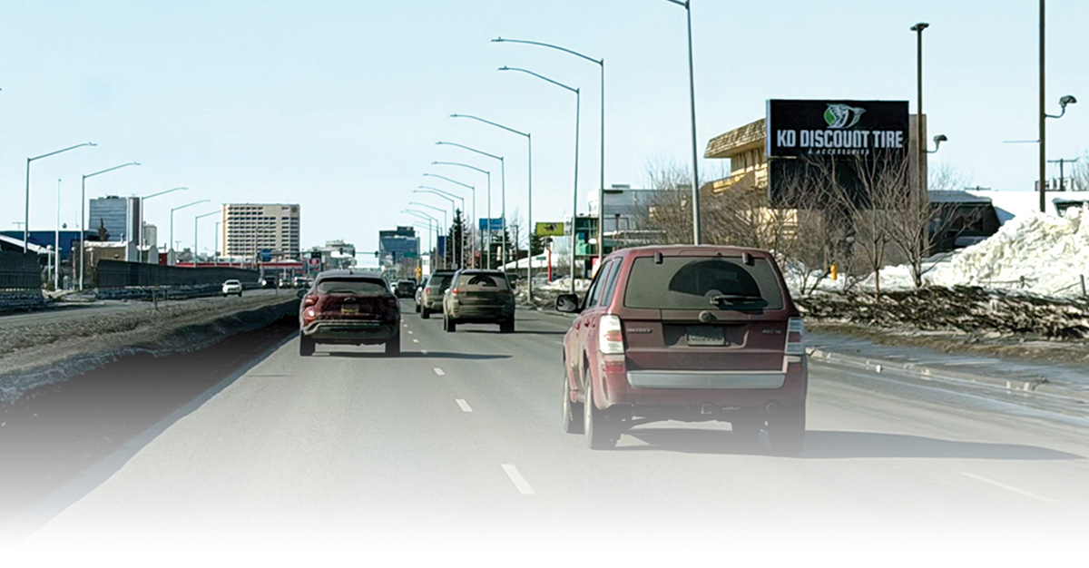
wo roads enter Alaska’s largest city, blending into the street grid before they intersect. The Seward Highway and Glenn Highway carry commuters into and out of Anchorage, as well as local traffic and drivers transiting the city via the junction of the highways.
The roads meet within the boundaries of the Fairview Community Council, and the neighborhood has watched for sixty years as municipal and state transportation planners have brainstormed ways to optimize the highway-to-highway flow. After several years of work on the Seward Glenn Connection Planning and Environmental Linkages (PEL) study, project leaders say they’re closer than ever to an answer.
“We want to provide certainty on where the new connection… is going to go and what it’s going to look like,” says Galen Jones, project manager for the Alaska Department of Transportation and Public Facilities (DOT&PF).
What happened in Fairview was common across the country. The 2017 report Beyond Traffic 2045 by the US Department of Transportation states that builders of the Interstate Highway System chose “areas where land costs were the lowest or where political resistance was weakest. In practice, this meant that urban interstates cut through low-income and minority communities more often than not.”
The Gambell-Ingra couplet was routed through Anchorage’s historically Black neighborhood. “That couplet has divided the neighborhood [and] caused major safety issues, especially for non-motorized users,” Jones says. A 2023 traffic analysis completed for the PEL study showed 15th Avenue and Gambell Street had the most “fatal and major injury crashes” of any intersection within the study boundary. Ingra Street between Fifth and Sixth Avenues had the highest crash rate, at 145.7 per million vehicle miles traveled. By contrast, the state had an average crash rate at the time of 9.6 per million vehicle miles traveled.
The current highway connection has also failed to meet federal requirements for interstates. In 1981, the state got the roadways classified as interstates due to federal funds reserved for maintaining such roads. “The function of the interstate highway… is to support regional travel, to support freight mobility for the region, and to support national defense,” says Jones. But “those three main criteria are not… compatible with the current configuration of the roadway.”
Fairview Community Council President Allen Kemplen says the couplet and uncertain future of the highway connection has hurt the neighborhood’s economy for years. “It created a big gash in the urban fabric, and it’s a gash that continues to bleed vitality out of our community,” Kemplen says.
At one time, the state considered putting a recessed, high-speed freeway through part of the neighborhood. Building this would have required the purchase and destruction of numerous structures, since Kemplen says the neighborhood has “a lot of small parcels.” Not knowing how long a home or business could remain on a given parcel has discouraged investment in Fairview, a trend that took on new urgency with the 2025 closure of the Carrs supermarket at Gambell and 13th Avenue, the neighborhood’s only grocery store.
“Investors hate risk,” Kemplen says. “That sort of economic calculus… results in disinvestment, and that’s what you saw along the Gambell-Ingra corridor.”
Projects must meet design and environmental requirements and ensure appropriate communication with the public and any relevant tribal entities. Indeed, AMATS exists because of federal mandates for “metropolitan planning organizations” to ensure appropriate coordination among cities, states, and other entities when developing major transportation projects.
In 2005, city transportation planners called “Linking the highways… crucial to meet[ing] Anchorage transportation needs” in the Anchorage Bowl 2025 Long-Range Transportation Plan. But the high-speed route they envisioned, a plan dubbed “H2H,” was canceled in 2010.
Fairview leaders continued to push for a solution, leading to the 2021 start of the PEL study. “We’ve taken a little longer than we thought we were going to, and we’ve undertaken more rounds [of alternatives than we anticipated],” Jones says, “but I think it’s been a great thing because it’s gotten us to where we are now.” As of press time, he expected to release the study’s final recommendations in mid-April.
Those recommendations reflect several rounds of public meetings, feedback, and revisions. “We’ve gone a long way from the original vision, which, back in the highway-to-highway days… [involved] an eight-lane freeway through the middle of Fairview,” Jones says.
Based on community feedback, the state abandoned plans for a high-speed freeway, like what the Seward Highway becomes south of 36th Avenue. Instead, Jones’ team recommends a parkway with separated facilities for non-motorized users, slower speeds, and traffic-calming features like a median and greenery. Where possible, DOT&PF hopes to connect major side stress via roundabouts, which use geometry to slow traffic and cue drivers of the changed to a more urban setting. After strong opposition, the PEL study also eliminated an option that would have put a parkway over part of the Chester Creek Greenbelt.
At the higher-elevation neighborhood level, planners hope to help Fairview eventually recover a two-way Gambell main street, with a feel more like Fourth Avenue in Downtown Anchorage. Ingra would also be converted to a two-way street with one lane in each direction. The rest of the connection would traverse the south and east sides of Merrill Field before going under Airport Heights Drive and connecting to the Glenn Highway.
The plan also includes changes to make Hyder Street—the north-south street that runs parallel to and between Gambell and Ingra Streets—a more pedestrian-focused corridor. This idea draws on a project that NeighborWorks Alaska and the Fairview Community Council developed with funding from the US Department of Transportation Reconnecting Communities Pilot grant program. Through the 2023 grant, matched by the Municipality of Anchorage, the groups got roughly $672,000 for what Hajduk calls “a community-led visioning project” that seeks to reconnect Fairview and revitalize the neighborhood.
“One of those solutions is to take Hyder Street, which is now basically a no man’s land, and use it as a spine of revitalization,” Kemplen says.
“It becomes so by creating a unique bike-pedestrian beltway around the urban core of Anchorage. There is an untapped opportunity with the Coastal Trail on the west, the Chester Creek and Ship Creek Greenbelts with their regional trails on the south and north, and then converting Hyder into a hybrid urban greenway,” Kemplen explains.
Jongenelen agrees the highway connection has gone through several “start-stops,” but he thinks the work of the PEL study “has a higher degree of success chance.… [T]here’s more momentum behind this one because it’s kind of pulled back and it’s not as extreme as past design efforts were,” he says.
The PEL study’s recommendations entail several separate smaller projects. To seek federal funding, AMATS must first include the concept in its long-range planning document, or Metropolitan Transportation Plan (MTP). To achieve that, two AMATS committees will go through the whole package of PEL study recommendations and look at how Fairview elements compare to available funding.
Jongenelen says AMATS tentatively plans to release updates to MTP 2050 around December 2026—“perfect timing” relative to the PEL study’s final recommendations.
Once AMATS includes a project in its long-range plan, the panel then considers specific elements for inclusion in a shorter-term document. AMATS uses these Transportation Improvement Plans (TIP), as they’re called, to work on MTPs in four-year chunks. Jones thinks the entire set of Fairview projects, including the Fairview bypass parkway, will probably take ten to twelve years to design and build, once sub-projects reach the TIP phase.
Because the highway-to-highway question has such a long history, however, some ideas predate the PEL study and have already moved partway through the process. In February, DOT&PF Commissioner Ryan Anderson approved an AMATS-recommended update to the state’s 2024–2027 Statewide Transportation Improvement Program that would reduce Gambell and Ingra Streets from four lanes wide to three lanes each. This long-sought change would allow for features like wider sidewalks and snow storage buffers. However, the state paused lane-drop funding approvals in late 2025 until further analysis was performed in accordance with following the DOT&PF Chief Engineers Directive “Lane Reduction and Road Diet Analysis” released in July 2025, which mandates “a systematic approach… to ensure road cross-sections appropriately align with the full range of user needs and that any modifications support overall system performance, safety, mobility, and operational considerations.”
The Ingra-Gambell lane reductions analysis is currently underway and will determine if the project can move forward as an interim safety improvement until Gambell and Ingra can be converted to two-way streets after the Fairview bypass is complete.
“There’s a lot of work to be done,” Kemplen says. “The neighborhood has to stay ever vigilant as this project moves forward to ensure there’s no backsliding and actual true commitment to the betterment of all.”